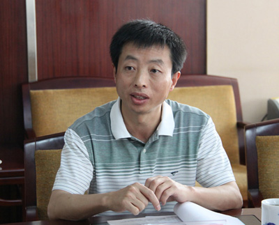
Dr and Prof Qinke, Yang, born in March of 1962. His main research and teaching areas are regional soil erosion assessment, terrain factors for soil erosion modeling, and principles of Geographic Information Sciences. Yang have been worked in the Institute of Soil and Water Conservation, Chinese Academy of Sciences and Ministry of Water Resources (CAS ISWC), and have been visiting CSIRO Land and Water, USDA National Soil Erosion Research Laboratory, and still have collaboration with CSIRO Marine and Atmospheric. The research projects have been finished are Impacts of soil conservation on environmental processes and factors (Project of Chinese Academy of Sciences), Study on the regional soil erosion model (Project of Ministry of Water Resources, China). The ongoing projects include, study on scaling of coarser resolution slope (NSFC project), study on distributed ersional slope length (NSFC project) and Calculating and analysis of CSLE-LS factors for China (Project of Ministry of Water Resources, China).
Papers published in recent years as follows.
1) QinKe Yang, Tim R. McVicar, Tom G. Van Niel, Michael F. Hutchinson, LingTao Li and XiaoPing Zhang. Improving a digital elevation model by reducing source data errors and optimising interpolation algorithm parameters: an example in the Loess Plateau, China. International Journal of Applied Earth Observation and Geoinformation (JAG), 2007, 9(3):235-246 (SCI, IDS Number: 191PG )
2) Qinke, Y., David Jupp, Lirui, et al. Paper Title: Re-scaling lower resolution slopes by histogram matching. In Zhou, Q., Lees, B. and Tang, G. (eds) . Advances in Digital Terrain Analysis. Springer, 193-210.
3) Wang, C., Yang Qinke, et al., Influence of resolution on slope in areas with different topographic characteristics. Computers & Geosciences (2011), doi:10.1016/j.cageo.2011.10.028
4) Yang Qinke, Shi Weijuan, Tim R.McVicar,et al. On constructing methods of hydrologically correct DEMs. Science of Soil and Water Conservation. 2007,(4):1-6
5) Zhang Caixia, Yang Qinke, Duan Jianjun. Method for establishing high resolution digital elevation model. Journal of hydraulic Engineering. 2006,37(8):1009-1014
6) Yang Qinke,Li Rui,Liu Yongmei. Discussions on methods of national regional soil erosion survey. Science of Soil and Water Conservation. 2008. 6(3): 1-7
7) Yang Qinke , Li Rui1 , Cao Ming ming. Advances of Quantitative Assessment on Regional Soil Erosion. Advances in Earth Science. 2006. 21(9): 31-38.ADVANCES IN EARTH SC IENCE
8) Chen, Lin, Yang Qinke, Xie Hongxia, et al. GIS and CSLE Based Quantitative Assessment of Soil Erosion in Shaanxi ,China. Journal of Soil and Water Conservation. 2009. 23(5): 61-66
9) Yang Qinke, Guo Weiling, Zhang Hongming, et al Method of Extracting LS Factor At Watershed Scale, Bullet ion of So il and Water Conservation. 2010. 30(2): 203-206.
10) Xie Hongxia, Yang Qinke, Lirui, et al, Quantitative assessment of impacts on decreasing erosion by soil and water conservation measures in Yanhe River Basin. Science of Soil and Water Conservation. 2010. 8(4): 13-19.
11) Wang Chunmei, Yang Qinke, Wang Qi, et al. Research on regional soil erosion intensity assessment. Science of Soil and Water Conservation. 2010, 8(3): 1-7
12) Guo Weiling, Yang Qinke, Cheng Lin et al, Re-scaling method of slope length factor in the soil erosion assessment of regional scale. Science of Soil and Water Conservation.2010, 8(4):73-78


